A site plan without credible relief
The site plan must show existing and projected terrain: hand-drawn relief produces sections the reviewing officer contests.
Loading
Contour lines, sections, siting: GeoAlt produces the graphic documents a permit application requires, from measured relief.
A building permit application requires graphic documents showing the terrain as it is: site plan with relief, sections, project insertion. GeoAlt prepares these documents from IGN and cadastre data — and stays clear about their status: they are working graphic documents, not automatically compliant regulatory pieces.
The site plan must show existing and projected terrain: hand-drawn relief produces sections the reviewing officer contests.
The project’s elevations (thresholds, platforms) must rest on the real terrain: without measurement, every dimension is a negotiation.
Situation plan, site plan, sections, statement: data comes from the cadastre, the IGN, the zoning plan — and must tell one story.
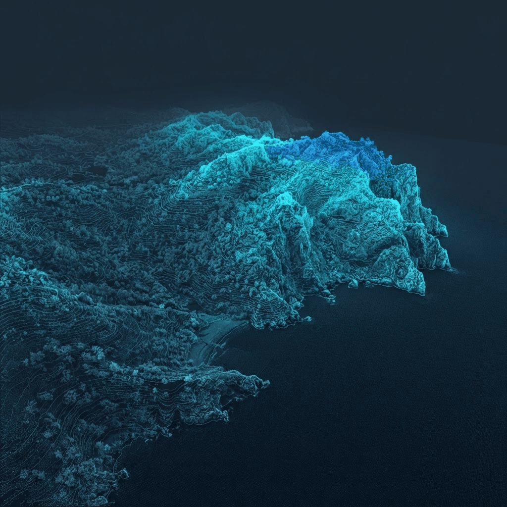
The public demo generates plan, sections and report on a real parcel.
Open the demoNo: they prepare the ground — literally. The architect gets a reliable site plan, accurate sections and the zoning rules, and produces the signed regulatory pieces.
The descriptive graphic documents of the terrain: site plan, sections, profiles, and landscape insertion elements. The statement, architectural plans and administrative pieces remain with the owner and the architect.
They are sourced (LiDAR HD or RGE ALTI, with campaign date) and consistent with the official vertical datum. For recently altered ground, a complementary survey is recommended.
Yes: the siting module places the project on the real terrain and produces 3D insertion views, exportable for the application.
Enter the cadastral reference: plan, sections and zoning report are generated on the real terrain.
Open the application