An approximate base terrain
A hand-interpolated DEM or one from an old plan distorts volumes by tens of percent on rolling ground.
Draw your platform, pick its elevation: GeoAlt confronts the design with the IGN-measured relief and computes the quantities.
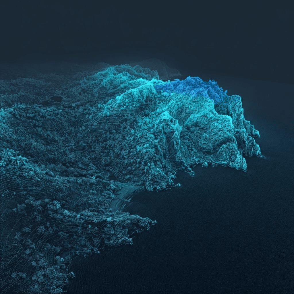
The earthworks budget lives on volumes: too much cut means hauling; too much fill means importing. The calculation is only worth something if it rests on the real terrain — not an approximated relief. GeoAlt measures the existing ground by LiDAR or RGE ALTI, then confronts your platform with the measured relief.
A hand-interpolated DEM or one from an old plan distorts volumes by tens of percent on rolling ground.
Moving the platform by 20 cm should re-read the volumes in a minute, not restart a two-day study.
Without a thickness map, you cannot see where cut accumulates or fill is missing: decisions are made blind.
The public demo computes the quantities of a platform on a real parcel.
Open the demoAccuracy depends on the base terrain: with a LiDAR HD DEM, volumetric error on open ground is on the order of a few percent. Under dense vegetation, the covered ground is interpolated — uncertainty rises.
Yes: the platform follows a slope and direction defined by the designer, or stays at a constant elevation.
Yes: every platform elevation or shape re-reads the volumes immediately — the cut/fill balance is optimised live.
No: iterations over the same area are not re-charged — only the final exported result is billed, once.
Draw the platform, pick the elevation, read the volumes: all on the real IGN terrain.
Open the application