Tiles of hundreds of megabytes
Data downloads come as tiles covering square kilometres: for a 2,000 m² parcel, downloading and processing a whole tile is disproportionate.
Loading
The IGN LiDAR HD program maps France with a classified point cloud. GeoAlt exploits it and delivers the exact extraction of your area.
LiDAR HD is the IGN program that maps the French territory with airborne laser scanning: every point carries a 3D position and a classification (ground, buildings, vegetation, water). The data is public; exploiting it — clipping, decompression, classification, projection — remains specialist work. GeoAlt automates it.
Data downloads come as tiles covering square kilometres: for a 2,000 m² parcel, downloading and processing a whole tile is disproportionate.
LAZ files require specialised libraries (laz-perf, LASlib): merely reading the cloud is already a technical project.
Tiles come in Lambert 93 (mainland France) with territory-specific vertical datums: a wrong reference shifts the whole survey.
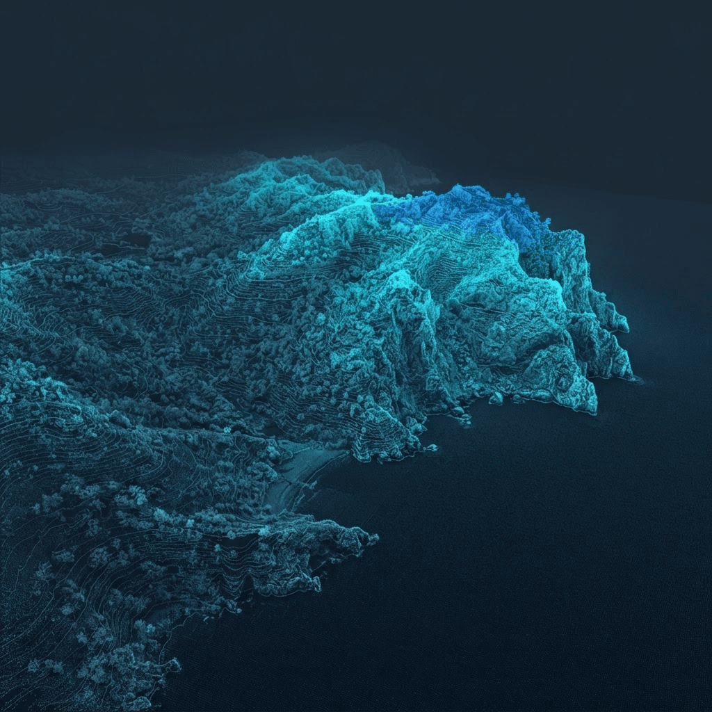
The public demo extracts the LiDAR cloud of a real parcel and shows class filtering.
Open the demoThe program targets an average density of about 10 points per square metre, with vertical accuracy of a few centimetres on the ground. Actual density varies between campaigns.
The ASPRS classification distinguishes ground, vegetation (low and high), buildings, water points and noise. GeoAlt lets you filter by class before extraction.
No: GeoAlt queries the tiles remotely and keeps only the points of your area. You download your extraction, not the tile.
GeoAlt also exploits the open Belgian (Flanders, Wallonia) and Dutch (AHN) datasets, with their own reference systems. More territories will follow as data opens up.
Enter a cadastral reference: the LiDAR HD extraction of your area is ready in minutes.
Open the application